We left the Gulf Coast heading east across the Okeechobee Waterway. As you can see, it was a chilly day, especially since we had been accustomed to 80 degrees and sunny. Of course it was heavy wind to make it even chillier. But, never fear, our faithful four-legged crew was on top of things, and standing ready to take the helm.
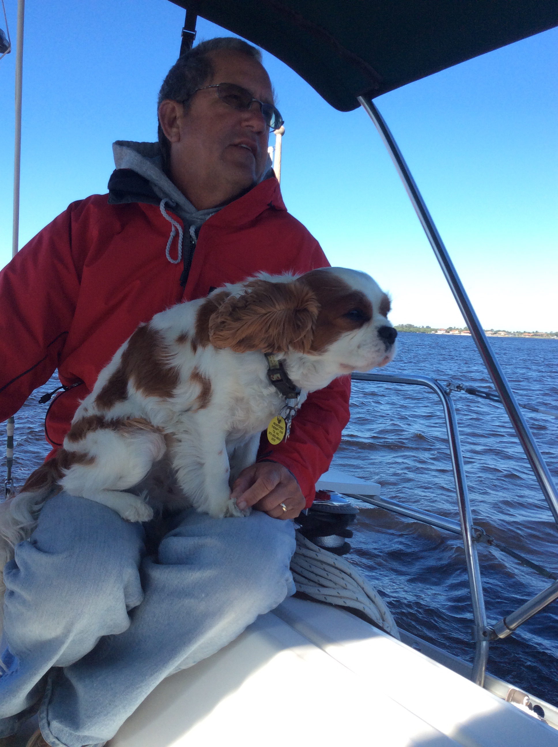
Captain Howard and Wonder Dog sailing on the San Carlos Bay.
The Okeechobee Waterway runs across Florida from the San Carlos Bay (Ft. Myers/Sanibel) on the gulf coast to the St. Lucie inlet (Stuart, Florida) on the east coast. It is made up of the Caloosahatchee River, Lake Okeechobee, and the St. Lucie Canal/River, and involves several bridges and six locks.

Beautiful Island RR Bascule Bridge – First on the east bound Okeechobee Waterway.
Here we are locking up at the Franklin Lock, first of six locks on the waterway.
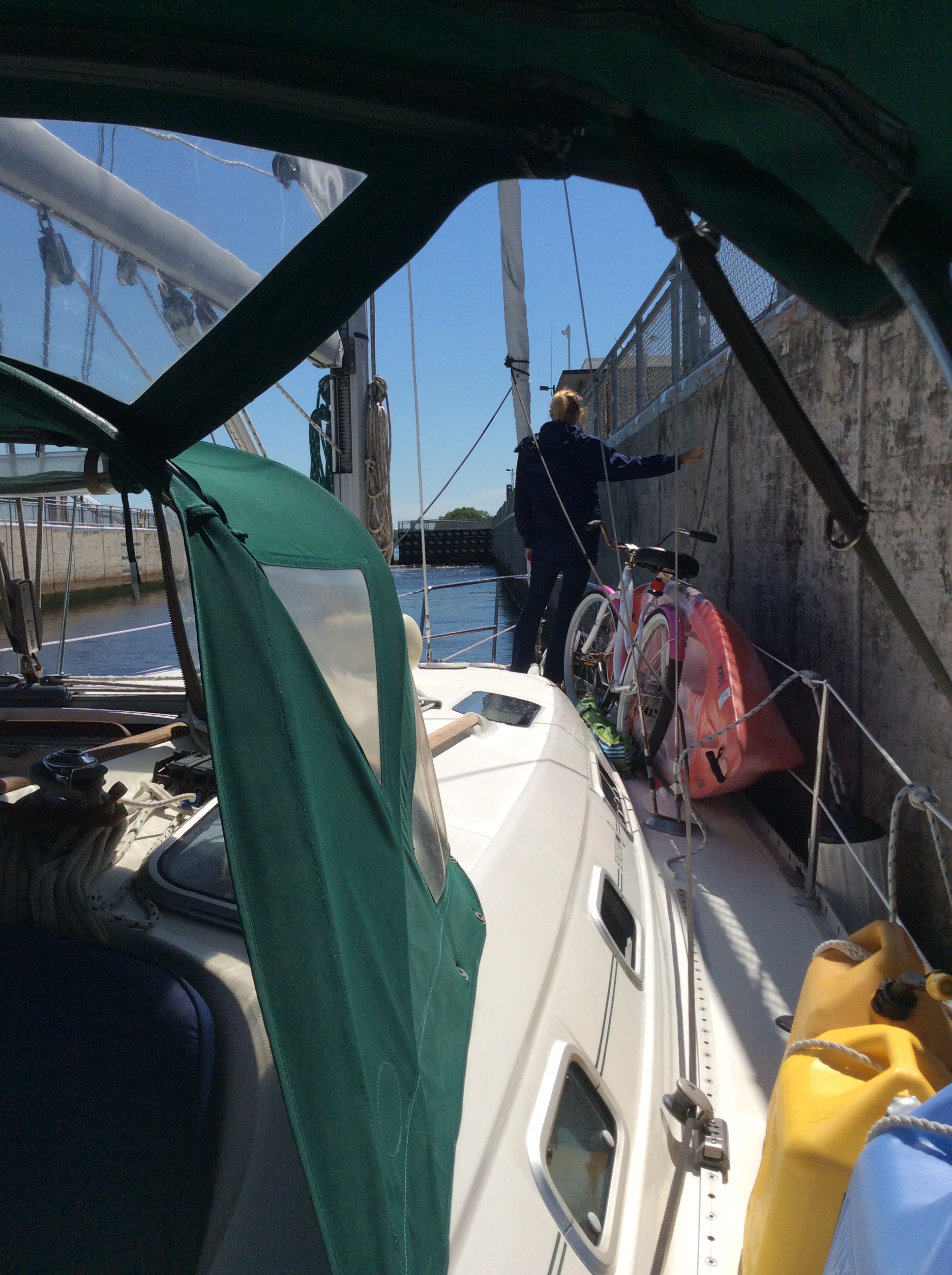
Debbie tending the lines as we are raised up at the Franklin Lock.
The scenery is very tranquil along the western portion of the waterway, which is the Caloosahatchee River (say that three times really fast). We finally starting calling it “the Caloosy.” Mostly farmland, and we saw one orange tree orchard.

Caloosahatchee River

Christmas Tree on the Caloosahatchee.
We passed a boat or two, and a few gators who were lurking. There were actually some crazy kids water skiing!
We had planned on doing a one night stop midway, thus getting through in two days. However, after getting underway and reading about the stops along the way, we ended up stopping three times to explore the area.
Our first stop was a free dock at a town called La Belle. The dock is new, accommodates five larger boats and maybe two or three smaller boats (and, again, it was FREE, including electricity and water hookups). We took the last available larger boat space, and while very nice, it was interesting and a little nerve-wracking getting in. There are no finger piers, so getting a line on the dock cleat was a feat (not to mention getting over the bow rail and safely onto the dock, and handing over the dog, requires some acrobatics). Being that there are gators about, you definitely don’t want to go for an accidental swim.
It is a one-stop town with a claim to honey production. You can tour the honey company and taste different flavors of honey. They were closed the day of our visit though.
The next stop was Clewiston for a stay at Roland Martin’s Marina, which sits on the western rim of the lake. Not much there, but a fun an interesting stop none the less, if only to watch the dockhand, Captain Sam, manage all the docking of boats.
The dock consists of one long face dock which accommodates about 10 or 11 good size boats. We were the 3rd boat to arrive, and one of the smallest that night. We were also the only sailboat as they can only accommodate 35 foot and under sailboats due to the channel where you dock only being 35 feet wide.
The docking procedure for us involved motoring down the channel and initiating a sharp 90 degree turn straight into the dock, at which point Captain Sam the dockhand takes the bow and bow line holding the boat in tight allowing the stern to swing around laying the boat against the dock (his instructions, not ours). We were going to turn around in the basin and back down the channel.

Dreamer docked at Roland Martin’s Marina in Clewiston.
Just before sunset, the power boats started rolling in. Of course, with bow thrusters, they were all able to very easily navigate the tight quarters.
It was a full house that night, so we were packed in tight bow to stern.

View from our cockpit at Roland Martin’s Marina.
The Clewiston locks were open due to the adequate water level in the lake, so we did not have to be raised or lowered at this juncture of the waterway.

Exiting the Clewiston lock into the lake.
It was a beautiful morning as we entered Lake Okeechobee. It is 25 miles across the lake, and once you are out there, it is not much to see. We did not see any of the small bass-type fishing boats out on the lake either. They seemed to be fishing the marshland along the rim. Did not take any pictures (probably more so because we were concentrating on the navigation of the channel). It truly does live up to its name, which is derived from Hitchiti Indian words, oki (water) and chubi (big).

Entering the lake from the western rim.
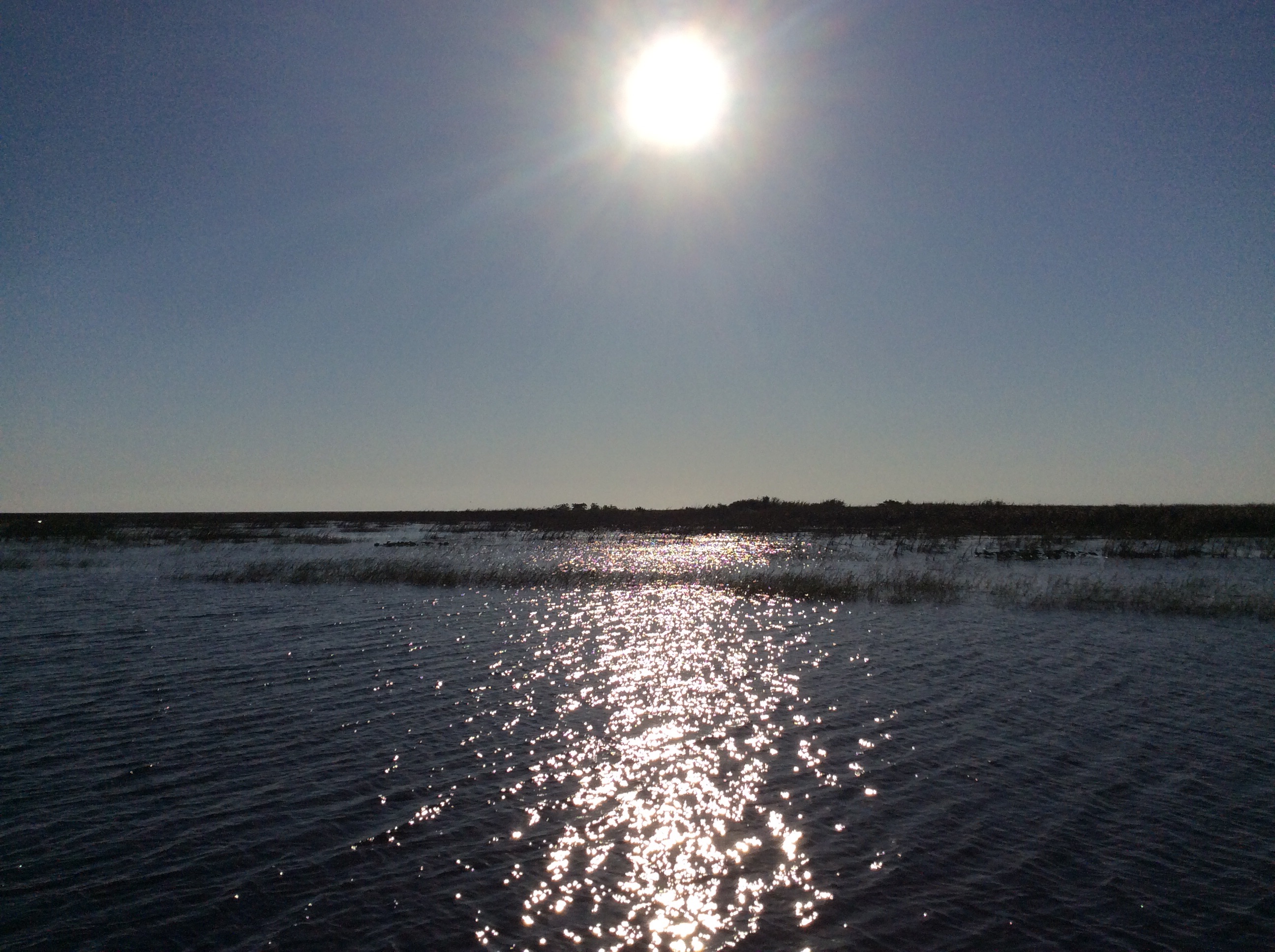
Looking east as we enter the lake just after sunrise.
Once across the lake, we passed through the open Port Mayaca lock, then to the fixed railroad bridge with a vertical clearance of 49 feet, which was disconcerting since our mast is 46.5 feet plus a 12 inch antenna (at least that is what our boat manufacturers specs state, we’ve never officially measured).
Anyway, we had checked with the local knowledge base on the current clearance based on water depth and they assured us it was 49 feet. And, not to fear they said, if we felt we could not clear, they could come out and place water-filled oil drums on our gunwale to lean the boat over enough to give clearance (cost about $200). We decided to go for it, sans the oil drums.
Here we go …

Dreamer approaching Port Mayaca RR Lift Bridge
We made it! So, now we are headed down the St. Lucie Canal. We counted six gators over the next 10 miles. They are very camera-shy … hard to get a picture of them using only cell phones as they hide if you get close enough for a picture.
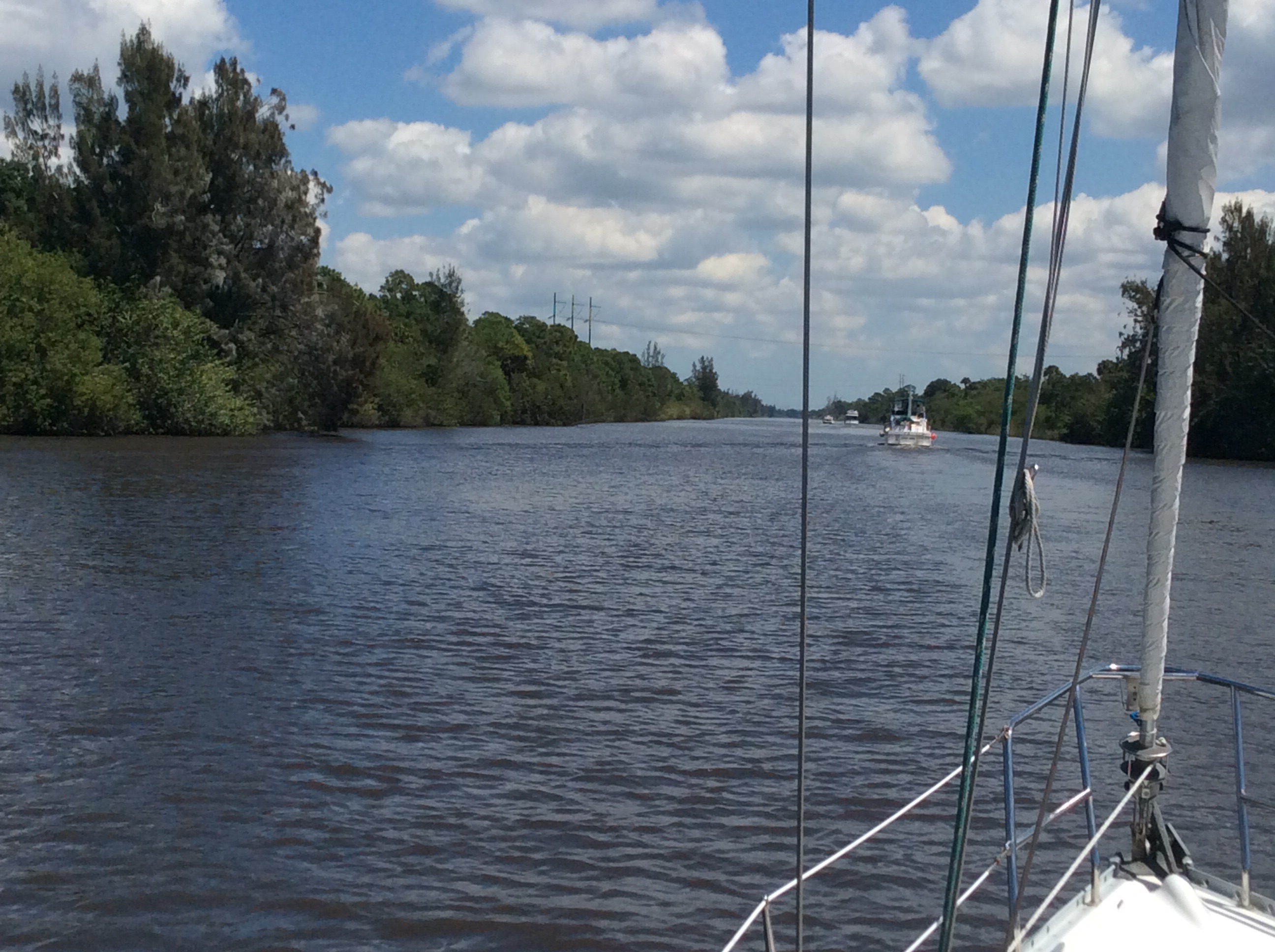
Following some trawlers down the St. Lucie Canal.
There are not any good anchoring spots along this waterway, but there are nice pilings, called “dolphins”, that are there to tie off to at all of the locks. Per Active Captain, you tie between them, bow and stern. We really wanted to do that one night, but considering our timeline, decided to save that experience for another trip.
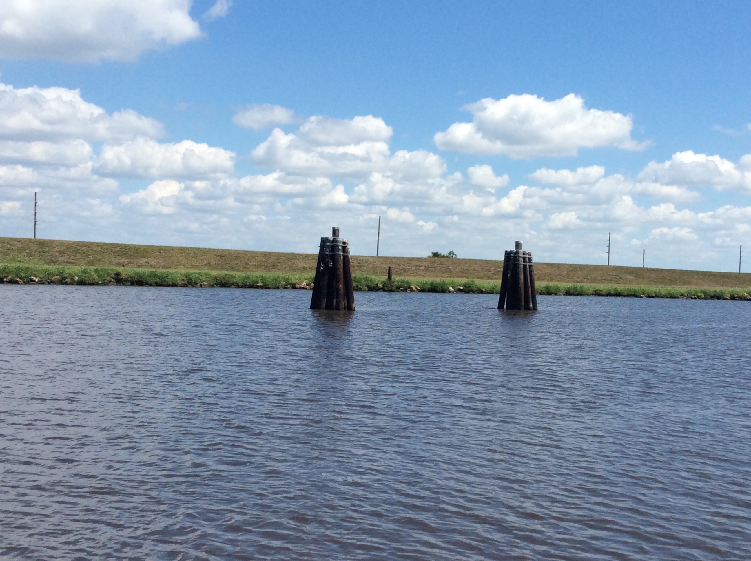
Dolphins on the Okeechobee Waterway for overnight stay to pass thru locks next day.
We stopped for the night at Indiantown. It is an outpost for cruisers who leave their boats in Florida for the summer. Since this is the busy season for boats coming in to storage, it was interesting to meet the various folks who do this regularly … From retirees to young business owners and families with children. Huge boat yard with hurricane tie downs.
Onward and outward, the last lock, St. Lucie, lowered us 16 feet. You can barely see west bound boats below waiting on the other side.

Entering the St. Lucie lock.

Watching the water flow out the lock at St. Lucie as we dropped 16 feet.
It was an interesting trip through the Okeechobee. It is not always a viable route due to the water levels. We checked the Army Corp of Engineers to make sure it was going to be open for us. They reported a controlling depth of 14 feet. Of course the 49 foot railroad bridge is a consideration for boats with more than 49 foot mast, unless you want to try the oil barrel lean over method!
So, we spent a night in Stuart on a mooring, then made it up to Vero Beach and are beginning the trek north back to the Chesapeake.
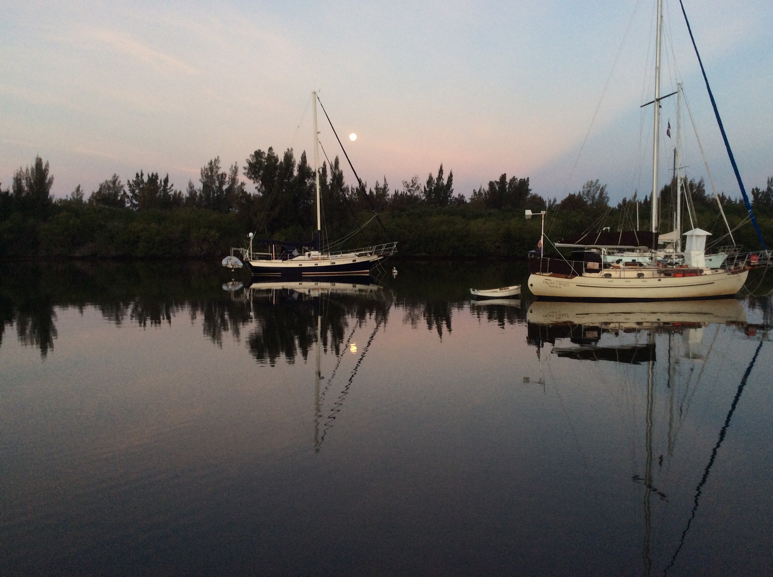
Beautiful morning moon with our coffee before getting underway at Vero Beach.

Goodbye Vero Beach!
As we write this, we are anchored in the Indian River near Cocoa Beach, just south of Cape Canaveral. Planning to visit the Kennedy Space Center, and debating staying for a rocket launch scheduled for this Saturday (assuming the weather forecast changes for the better).
